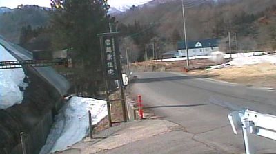
七ヶ宿町 › 東
![]() 七ヶ宿町, 日本
七ヶ宿町, 日本
七ヶ宿町, 日本
Real-Time Environment
⏳
Loading...
Fetching weather
km/h
--:--
Loading date...
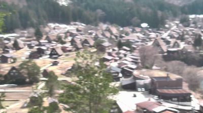
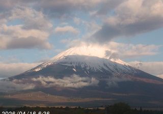
Welcome to the live streaming webcam for 七ヶ宿町 › 東, perfectly situated in the vibrant region of 七ヶ宿町, 日本. Watching this live camera allows you to instantly experience the local atmosphere and monitor current climate conditions.

About 七ヶ宿町
七ヶ宿町(しちかしゅくまち)は、宮城県南西部に位置し、刈田郡に属する町。宮城県南西端の奥羽山脈のほぼ中央に位置している。福島県と山形県に接する小さな町で蔵王連峰の南に位置している。可住地面積 (30.71km2) は、町の面積263km2の11.7%しかない、山がちな地形である。町域は七ヶ宿ダムの堤体の上流側(西側)に広がっており、国道113号沿いの白石川の河岸段丘上、および県道51号南蔵王七ヶ宿線沿いに主な集落がある。
📖 Read more on Wikipedia📍 Location Facts
-
Country
 日本
日本
- Region 宮城県
- City 七ヶ宿町
- Coordinates 37.9809°N, 140.4754°E
Have you been to 七ヶ宿町?
Help the community! Share your experience, tell us about the weather, or upload your own photos from this exact location.
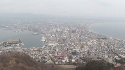
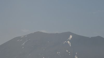
More Webcams in 日本
Frequently Asked Questions
Webcam.beer is a premium global directory of live streaming webcams. We curate and index thousands of real-time cameras from around the world, allowing you to instantly check weather conditions, explore famous tourist spots, view city traffic, and discover beautiful landscapes all in one place.
Yes! The vast majority of the cameras in our network are real-time, live video streams. Some remote or scientific cameras may provide frequently updated high-resolution imagery due to bandwidth constraints in those specific locations.
Absolutely. Browsing, watching, and exploring the webcams on our platform is 100% free. You do not need to pay or create an account to view the live streams.
We love community contributions! You can easily submit a live stream by clicking the 'Add Cam' button in the main menu. Once submitted, our moderation team will review the camera to ensure it meets our quality and safety guidelines before it goes live on the platform.